Service commun de la documentation de l’Université de Nantes

Contenu

Identifiant
BUAPA230016
Nom
Service commun de la documentation de l’Université de Nantes
Nom attribué
Université de Nantes. Service commun de la documentation
parentOrganization
Université de Nantes
Description
Les bibliothèques universitaires de Nantes Université sont ouvertes à tous, au-delà des universitaires. 70 livres, parmi les ressources multidisciplinaires, de toute nature et sur tous supports, qu'elles mettent à disposition, sont venus enrichir les collections de Manioc.
Provenance
Bibliothèque numérique Manioc
Collections
Partenaires

Ressources liées

Contenus avec " Provenance : Service commun de la documentation de l’Université de Nantes "
Titre Classe
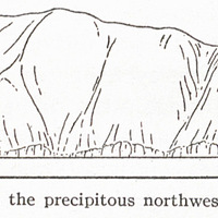
Fig. 54 — Ham bluff, the precipitous northwest coast of St. Croix. Image fixe
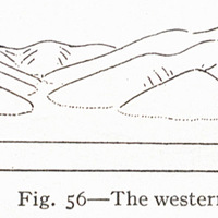
Fig. 56 — The western end of St. Croix at Fred Image fixe
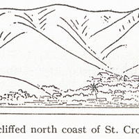
Fig. 57 — The non-cliffed north coast of St. Croix at Christiansted. Image fixe
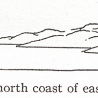
Fig. 58 — The north coast of eastern St. Croix. Image fixe
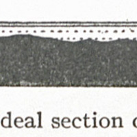
Fig. 59 — Ideal section of an atoll. Image fixe
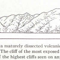
Fig. 6 — Silver Hill, a maturely dissected volcanic mass at the northern angle of Montserrat. The cliff of the most exposed headland is about 450 feet high and is one of the highest cliffs seen on any island. Image fixe
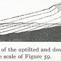
Fig. 60 — Ideal section of the uptilted and down-worn half of the same atoll, drawn on twice the scale of Figure 59. Image fixe
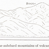
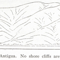
Fig. 61 — The subdued mountains of volcanic rocks in the southwestern quarter of Antigua. No shore cliffs are seen here. Image fixe
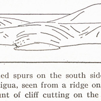
Fig. 62 — The subdued spurs on the south side of Willoughby Bay, southeast coast of Antigua, seen from a ridge on the north side of the bay. The slight amount of cliff cutting on the spur ends is notable. Image fixe
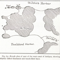
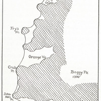
Fig. 63 — Rough plan of part of the west coast of Antigua, showing slightly cliffed headlands and beach-filled bays. Image fixe
Fig. 64 — Rough plan of the southwest coast of Antigua, showing slightly cliffed headlands and beach-filled bays. Image fixe
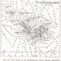
Fig. 65 — The Island of St. Bartholomew (from British Admiralty Chart No. 2038). Image fixe
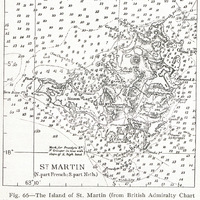
Fig. 66 — The Island of St. Martin (from British Admiralty Chart No. 2038). Image fixe
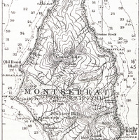
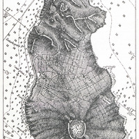
Fig. 7 — Montserrat (from U. S. Hydrogr. Office Chart No. 1011). Image fixe
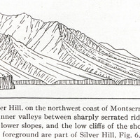
Fig. 8 — Center Hill, on the northwest coast of Montserrat, showing the deeply incised inner valleys between sharply serrated ridges, the moderately dissected lower slopes, and the low cliffs of the shore. The higher cliffs in the left foreground are part of Silver Hill, Fig. 6. Image fixe
Fig. 9 — Statia (from British Admiralty Chart No. 487). Image fixe
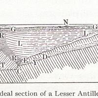
Fig. I — Ideal section of a Lesser Antillean bank Image fixe
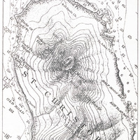
Figs. 12 and 13 — St. Kitts (from U.S. Image fixe
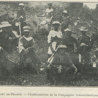
Fort-de-France. - Charbonnières de la Compagnie transatlantique Image fixe
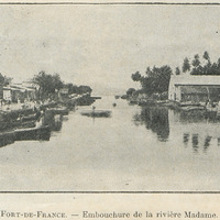
Fort-de-France. - Embouchure de la rivière Madame Image fixe
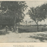
Fort-de-France. - La Savane Image fixe
Fragments d'histoire ou Hier et aujourd'hui : à la faveur d'une promenade dans les rues et aux environs de Fort-de-France Texte
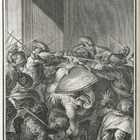
François Pizarre assasiné par une troupe de Conjurés Image fixe
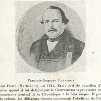
François-Auguste Perrinon. Né à Saint-Pierre (Martinique), en 1812. Etait chef de bataillon d'artillerie de marine quand il fut délégué par le Gouvernement provisoire en qualité de Commissaire général de la République à la Martinique. Il promulgua, dans la colonie, les différents décrets concernant l'abolition de l'esclavage. Image fixe