Service commun de la documentation de l’Université de Nantes

Contenu

Identifiant
BUAPA230016
Nom
Service commun de la documentation de l’Université de Nantes
Nom attribué
Université de Nantes. Service commun de la documentation
parentOrganization
Université de Nantes
Description
Les bibliothèques universitaires de Nantes Université sont ouvertes à tous, au-delà des universitaires. 70 livres, parmi les ressources multidisciplinaires, de toute nature et sur tous supports, qu'elles mettent à disposition, sont venus enrichir les collections de Manioc.
Provenance
Bibliothèque numérique Manioc
Collections
Partenaires

Ressources liées

Contenus avec " Provenance : Service commun de la documentation de l’Université de Nantes "
Titre Classe
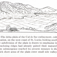
Fig. 30 — The delta plain of the Cul de Sac embayment, cultivated as a sugar plantation, on the west coast of St. Lucia; looking southwest. The rectangular subdivision of the plain is drawn to emphasize its levelness. That the enclosing ridges had already gained their maturely dissected forms before submergence reached its present measure is shown by the way in which short arms of the plain enter small side valleys. See also Fig. 35. Image fixe
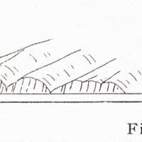
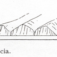
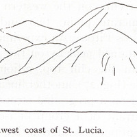
Fig. 31 — The low cliffs of the mid-west coast, St. Lucia. Image fixe
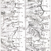
Fig. 32 — The east coast of St. Lucia (from U. S. Hydrogr. Office Chart No. 1261). Image fixe
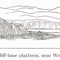
Fig. 34 — An elevated cliff-base platform, near Wellington, New Zealand. Image fixe
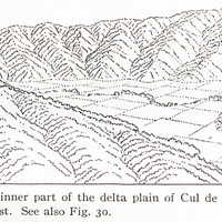
Fig. 35 — The inner part of the delta plain of Cul de Sac, St. Lucia, looking northwest. See also Fig. 30. Image fixe
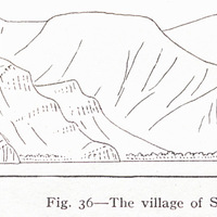
Fig. 36 — The village of Soufrière on a delta front on the southwest coast of St. Lucia. Image fixe
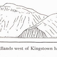
Fig. 38 — Cliffed headlands west of Kingstown harbor, southern end of St. Vincent. Image fixe
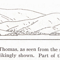
Fig. 39 — Part of St. Thomas, as seen from the south. The immaturity spurs and valleys is strikingly shown. Part of the town of St. Thomas Image fixe
Fig. 4 — Part of one of the Saints (from U. S. Hydrogr. Office Chart No. 362). Image fixe
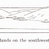
Fig. 40 — Spurs and islands on the southwest coast of St. Thomas, as and southwest. Image fixe
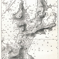
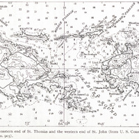
Fig. 41 — The eastern end of St. Thomas and the western end of St. John (from U. S. Coast and Geodetic Survey Chart No. 905). Image fixe
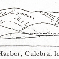
Fig. 42 — Great Harbor, Culebra, looking northwest. Image fixe
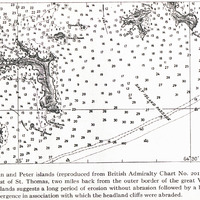
Fig. 43 — Norman and Peter islands (reproduced from British Admiralty Chart No. 2019). These skeleton islands lie southeast of St. Thomas, two miles back from the outer border of the great Virgin Island bank. The form of the islands suggests a long period of erosion without abrasion followed by a brief period of relatively strong submergence in association with which the headland cliffs were abraded. Image fixe
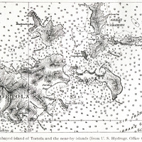
Fig. 44 — The embayed island of Tortola and the near-by islands (from U. S. Hydrogr. Office Chart No. 3904). Image fixe
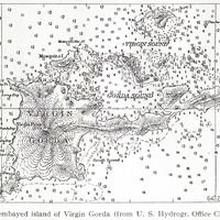
Fig. 45 — The embayed island of Virgin Gorda (from U. S. Hydrogr. Office Chart No. 3904). Image fixe
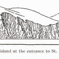
Fig. 46 — A cliffed island at the entrance to St. Thomas harbor, looking north. Image fixe
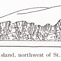
Fig. 47 — Cockroach Island, northwest of St. Thomas, looking east. Image fixe
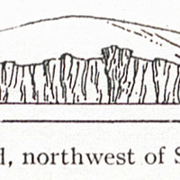
Fig. 48 — Cockroach Island, northwest of St. Thomas, looking north. Image fixe
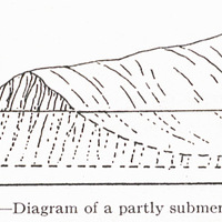
Fig. 49 — Diagram of a partly submerged cliff. Image fixe
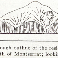
Fig. 5 — A rough outline of the residual island of Redonda, north of Montserrat; looking north. Image fixe
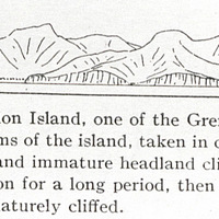
Fig. 50 — Part of Union Island, one of the Grenadines; looking southeast. The subdued forms of the island, taken in connection with its pronounced embayments and immature headland cliffs, suggest that it was first subjected to erosion for a long period, then moderately submerged and embayed and immaturely cliffed. Image fixe
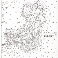
Fig. 51 — Cannouan Island, one of the Grenadines (from U. S. Hydrogr. Office Chart No. 1640). Image fixe
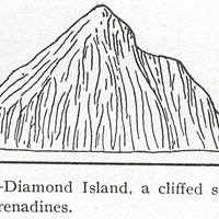
Fig. 52 — Diamond Island, a cliffed stack in the southern Grenadines. Image fixe